From Street to Indoors, at Scale: GeoCam Now Supports ArcGIS Oriented Imagery
Seamlessly connect GeoCam’s immersive 360° imagery with your ArcGIS maps—indoors, outdoors, and at enterprise scale.
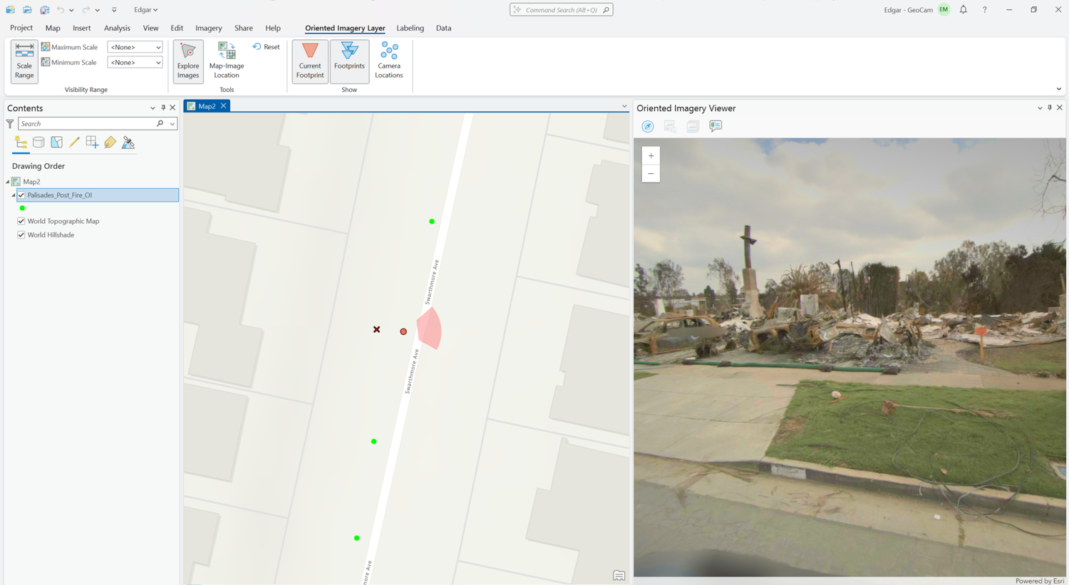
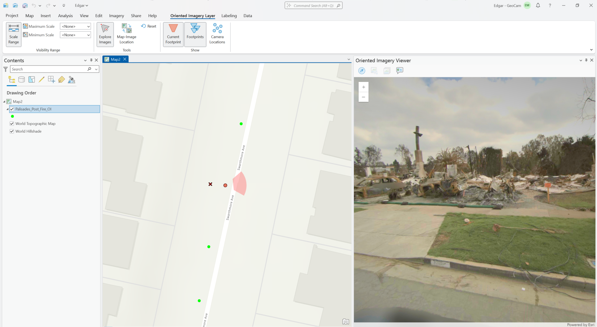
*ArcGIS Pro - Orientated Image Viewer*
At GeoCam, we’re making it easier than ever to integrate high-resolution 360° imagery into your Esri ArcGIS workflows, whether you're capturing streets, school campuses, or building interiors.
GeoCam is excited to announce full support for the oriented imagery capability of ArcGIS, the modern way to explore georeferenced panoramic and oblique imagery inside Esri’s ArcGIS Pro and ArcGIS Online.
**Cloud-First by Default**
The GeoCam Viewer remains the fastest way to work with your imagery, while securely connected to your ArcGIS Online or Enterprise web maps. This enables you to bring in your own GIS layers, features, and symbology, and explore immersive 360° imagery all captured with the GeoCam system.
No extra tools, no complexity, just a clean, intuitive experience for imagery-rich web maps.
**Now with Native ArcGIS Desktop Integration**
For teams working in ArcGIS Pro, GeoCam now exports imagery that leverages the oriented imagery capability of ArcGIS, you can:
- Navigate images by clicking on the map
- Link images to GIS features and assets
- Validate locations and inspect conditions
- Scale to tens of thousands of images per project
This is the same capability Esri recently highlighted in their official post:
👉 Introducing Oriented Imagery
**Privacy-Safe and Built for Scale**
- Automatic blurring of people and vehicles
- Indoor + outdoor capture workflows
- Full spatial metadata and orientation
- Supports ArcGIS Indoors + Experience Builder
Whether you’re mapping sidewalks, scanning water treatment facilities, or documenting stadium interiors, GeoCam helps you capture once, and use everywhere.
Want to see it in action? Get in touch and we'll walk you through it with your own maps.